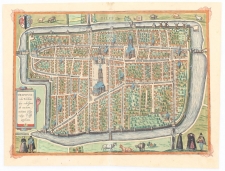
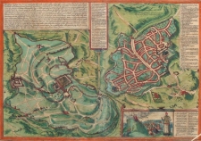
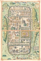
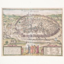
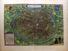
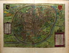
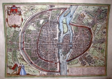
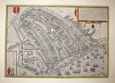
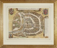
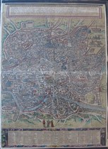
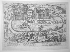
Frans Hogenberg (1535 - 1590) was a famous Flemish cartographer who drew maps and drawings made for publishers in the Netherlands, Germany and England. He was himself publisher, draftsman, painter and engraver. Together with Georg Braun (1541 – 1622), Canon of Cologne Cathedral, he produced from 1572 to his death in 1590 the atlas Civitates Orbis Terrarum, depicting city views from around the world as it was known at his time. The sixth and last volume was completed by George Braun in 1618. Besides atlases, F. Hogenberg gave birth to a series of historical prints presenting historical events, including many battles and sieges of the Eighty Years War. Because Hogenberg supported the uprising, we can assume that his prints could have been used as anti-Spanish propaganda. Well known is also his drawing of the map of the Netherlands in the form of a lion, the so called “Leo Belgicus”.
|
|
|
|
|
|
|
|
|
|
|


